Wednesday, November 22, 2006

What We Did Last Summer -- Part 3 -- Rolling of the Sea

Continued from Part 2.

Tuesday August 1 to Wednesday August 2 - With breakfast-enhanced wakefulness, we loaded up the van and after a last farewell tour through the water front (resulting in a planned delay of 15 minutes) we hit the Trans Canada Highway headed west. With all the practice we had over the last few days, we had no trouble staying on the correct route.

In short order, we passed the turn off to Kevin's cottage at Middle Gull Pond. From this point onward, this was road that we had never, as a group, seen before. The day was perfect for driving -- clear but with just enough cloud cover so that there was no bright sun glare.

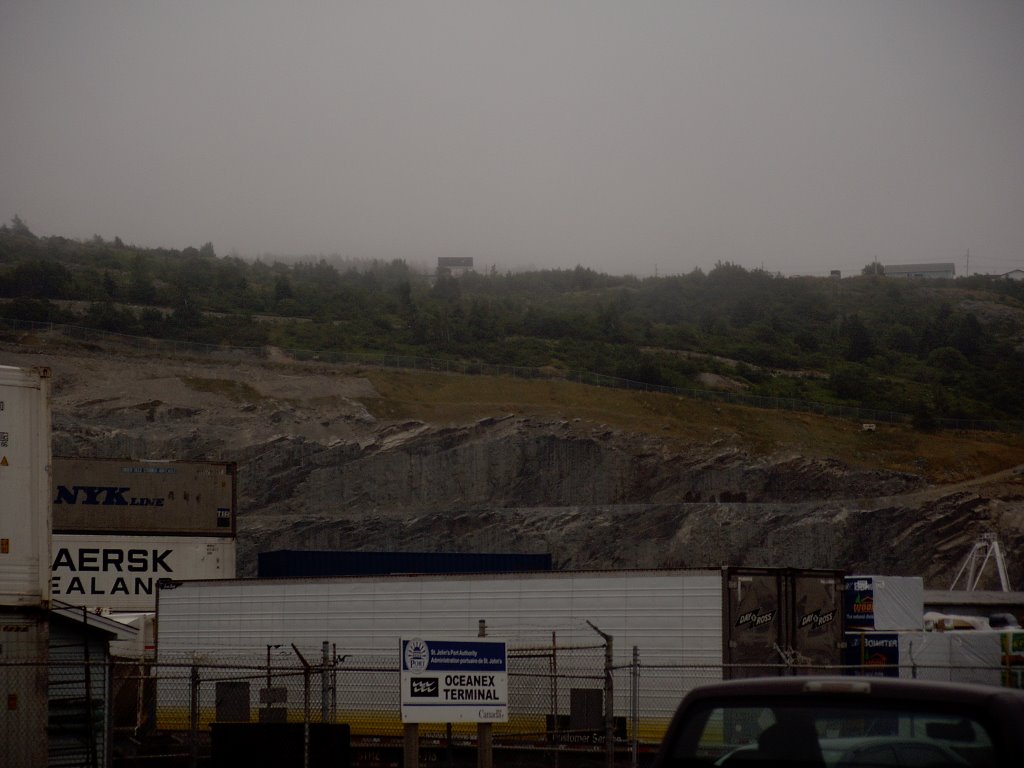
We were traveling with three children, so rest stops were frequent. The first of these, about half way between St. John's and Terra Nova National Park, made me briefly nostalgic for my childhood in northern B.C. The place was a store, a restaurant, and a gas station beside the highway. If you right-click on the image, select "Save Link As" and save the picture, then load the picture using a utility like ACDSee and zoom in, you can see Chris in the van tweaking his GPS device.


There is only one road through Newfoundland, so we had no choice but to follow the twisty route of the Trans Canada. Many roads led away from the highway toward the northern coast, to little coastal villages. Even with the highway, there are still Newfoundland outport communities that can only be reached by seaplane or by boat.

This was not the case of Gambo, where we made another rest stop. Gambo is right by the highway, and its claim to fame is that it is the home town of Joey Smallwood, the Newfoundland politician who presided over Newfoundland's entry into the Canadian Confederation in 1949.
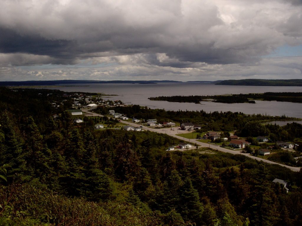

Lunch was in Gander in the early afternoon. In order not to traumatize finicky palates, we ate at a chain restaurant called Jungle Jim, whose only virtue was that the children liked it.

We also filled the tank again in Gander. The gas price per litre in St. John's had been around $1.20 per litre -- compared with a price in the mid to high 90s back home in Toronto. We had been braced for even worse sticker shock on the highway, but the price was about the same. After a second refill late in the afternoon, we eventually reached Deer Lake, and less than an hour after that, we reached the edge of Gros Morne National Park.

By this point, we had been on the road for over nine hours, and fatigue levels were getting high. A combination of games, comic books, books, strategically doled out snacks, and games played on the PSP or my Palm kept the children more or less harmlessly occupied. However, there was some inevitable conflict, even though all three children were real troupers through what was a long and grueling drive. There was one funny moment when after a brief spat, Robin's voice rang out in the sudden silence : "Things would go so much better if you people would just do what I want."

Our ultimate destination was right on the western coast, a community called Norris Point, close to a slightly larger place called Rocky Harbour. Both towns were surrounded by the Gros Morne wilderness -- a land of rock and high cliffs, forests, and the ever-present sea close by.

Months previously, we had planned for a week in Gros Morne, and through the magic of the internet, had found Judy Reid and "Reid's Tourist Home" -- our home away from home for the next week in Norris Point. Judy wasn't available the day we arrived, so she had arranged to leave the cottage unlocked so we could get in.


This "cottage" was actually slightly larger than our house! Clean, neat -- it would have passed much stricter standards than those of a slob like me.


The road leading to the cottage was called Neddie's Harbour Road. It had followed the edge of a harbour, which we assumed to be Neddie's Harbour, and beyond the cottage, it disappeared over a hill. A few days later, Chris and I and the kids walked along the road to find a small graveyard, a gravel pit, a small wood cutting operation, and a water treatment plant.
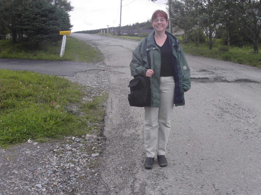

But the first night was a night to wind down. Relaxation was facilitated by the fact that the convenience store next to the Esso service station at the beginning of Neddie's Harbour Road was also a beer store. Snacks, beer, and barbecued pork chops went a long way to restoring good cheer after the long drive.

The next day, our first full day in Norris Point, was taken up with administration and research. After a long sleep, followed by a leisurely breakfast and lunch, we drove out to the Visitor Centre to get maps of the park, and then into Rocky Harbour in search of a laundromat.

As we turned from the road from the Parks Canada Visitor Centre onto the road going to Rocky Harbour, we saw a moose beside the road -- we were less than two road widths away from it. It chewed its plant fodder oblivious to our frantic photography.

In Rocky Harbour, we found the laundromat, and restocked on groceries. Liza and Jill found a place which sold crafts and souvenirs. That evening, we ate dinner at a restaurant called Jackie's, where I ate real Newfoundland cod.

Once we got to the shore, it was also obvious why the community was called "Rocky Harbour". Rocks littered the harbour, carried there by glaciation during the last ice age.
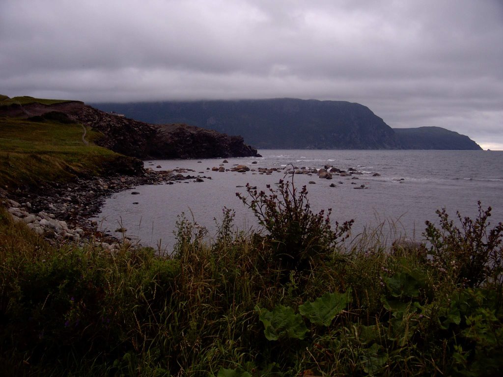


Thursday August 3
- On our second full day in Gros Morne, the objective was to visit a little piece of Mars on Earth.

The place we needed to initially get to was (theoretically) visible across the harbour, a place called Bonne Bay. From Bonne Bay, there was a road that led to Trout River. Lacking a car ferry to take us and our faithful van across the harbour, we instead backtracked thirty or forty kilometers to a point outside the park, to pick up the road that got us around to the other side of the harbour to the road to Trout River Pond.

We got there in time to have a quick lunch (sandwiches in a covered picnic area) and make the early afternoon boat tour.

In one of the local variations of meaning, the word "pond" in Newfoundland is a reference to a lake. This linguistic evolution is probably reasonable when one considers that Newfoundlanders, faced with the reality of the North Atlantic, are not at all impressed by any other body of water.

Trout River Pond was a fjord which became landlocked as a result of geological reshaping during one of the Ice Ages. The cliffs which border it are very important for insight into the forces which have driven our planet's geological evolution. On one side, there are familiar granite cliffs, such as one might see in Northern Ontario. On the other side side, the cliffs start as normal rock, but there is a transition point, and beyond that point they are mostly bare of any growing thing, and they have an orange-yellow colour. They are composed of peridotite, a mineral that normally exists deep in the earth, typically at the depth of the Mohorovicic Discontinuity, which marks the boundary between crust and mantle layers in the Earth's structure. This part of Gros Morne is known as the Tablelands.

The day was cloudy, with occasional periods when the sun would shine. It was quite cool on the boat -- we were all glad to have brought sweaters and jackets. The boat itself was a slightly larger version of the whale watching boat that we had encountered a couple of days previously. It was also obvious that the tour operators were old hands at this -- the tour ran smoothly, and the commentary was well done.
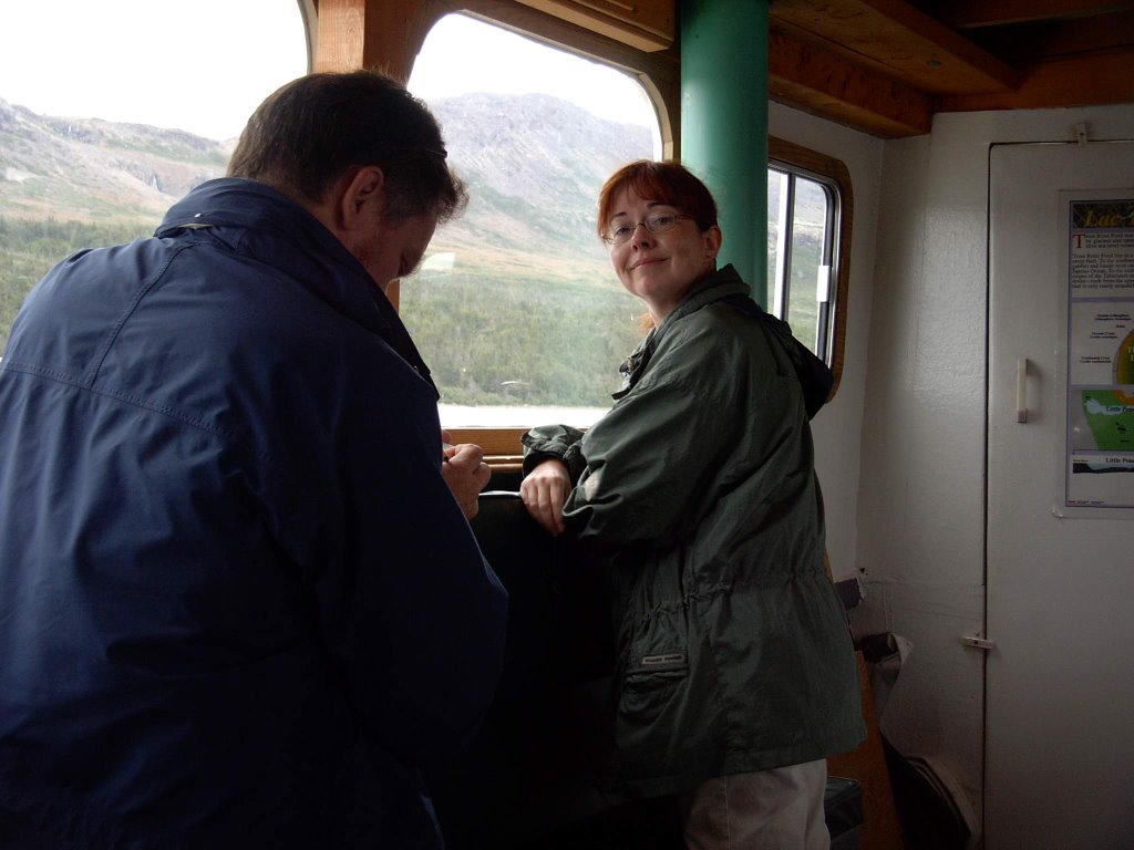

The transition from "normal" rock to peridotite was quite abrupt. Normal rock weathers, and is subject to erosion by natural forces, including biological activity -- plants take root, and in the process create more soil on the rock and in cracks in the rock, allowing further generations of plants to grow. And eventually, an entire ecosystem develops on the mountain or cliffside.
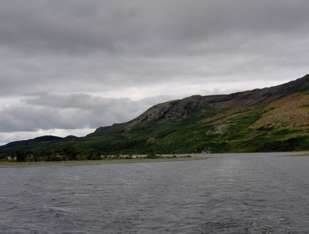

Not so with peridotite. Although peridotite is subject to erosional forces due to wind and water (in fact, it wears away more easily than granite does), nothing grows on it, because it is toxic to plants. The toxicity is due to the presence of heavy metals. Very hardy plants have taken root, in crevices filled with wind-blown soil, but these are rare, and when found, they are small and spindly.


After the tour, on our way back out toward the main highway, we stopped at a place where the road formed a divide between the two kinds of Tableland rock. The stark, lifeless, yellow orange landscape, lit by a cloud attenuated sun, was unearthly. It is almost certainly the closest that I will ever get to a first hand look at the surface of Mars.
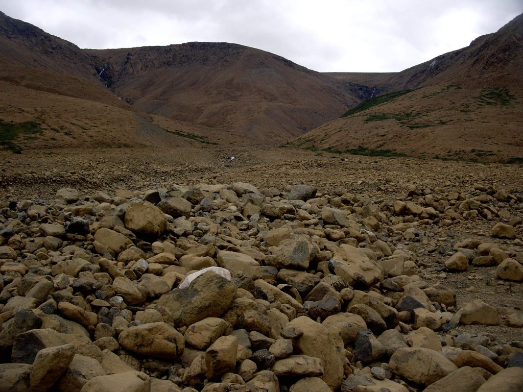

Olivine is a component of peridotite -- a substance which has been verified to be present on the Martian surface by both Spirit and Opportunity. In the Tablelands, the peridotite originated in the Earth's mantle. The Tablelands were formed when two continental plates collided, causing material from deep within the earth to be upthrust. Gros Morne and the Tablelands provide fine examples of the result of this ancient geological activity for study, one of the reasons why it was designated as a UNESCO Heritage Site, in addition to being a National Park.

On our way back to Norris Point, on the main road (Highway 430), we encountered a pair of moose beside the road -- a mother and her calf. We stopped to take photos, and over the course of ten minutes or so, four or five vehicles stopped to join us. The moose eventually slipped into the forest, and we continued on back to Norris Point.


Friday August 4 - With the weather forecast showing that Friday would be reasonably clear, we decided to make the long trip up north to L'Anse Aux Meadows. We were on the road just after 7am, which was a bit of a struggle. We passed through all of Gros Morne, following highway 430 northward to the very northern tip of the island of Newfoundland.

When I got the tire repaired earlier in the week, I had gotten a set of "moose whistles" from the outdoor section of the Canadian Tire store, in anticipation of driving in Gros Morne and the west coast. Before starting that morning, Chris and I fastened them to the van with packing tape. On the way up north, we passed through a coastal community, and saw two moose ambling through an industrial area beside the highway. This was our first, but by no means last moose encounter of the day.

Including rest stops, the trip up took about four hours. In the last part of the drive, highway 430 paralleled the Newfoundland coast. We could see Labrador, ten or fifteen kilometres away across the Strait of Belle Isle.

For personal and cultural reasons, I have always liked to seek out and eat in Chinese restaurants in small communities when I travel. It is the whole reliving my past thing, since Chinese restaurants, after all, reflect my personal roots. However, on this occasion, I was outvoted. We had lunch at the Tim Horton's in St. Anthony. From the promotional place mat on the table, however, I learned that there was not one, but actually two Chinese restaurants in St. Anthony.

After lunch, we made our way north back along 430 to its intersection with Highway 436, and followed 436 to the coast, to the National Park that enclosed the L'Anse Aux Meadows site.

L'Anse Aux Meadows is not very far north -- at least, not according to the standards of someone born in Northern B.C. It is at a latitude that puts it at same or a bit south of the latitude of Moose Factory, Saskatoon, Edmonton, or Prince George. But north of this point (not quite the most northerly point of the island of Newfoundland), there is nothing but water -- the North Atlantic eventually becoming the Arctic Ocean.
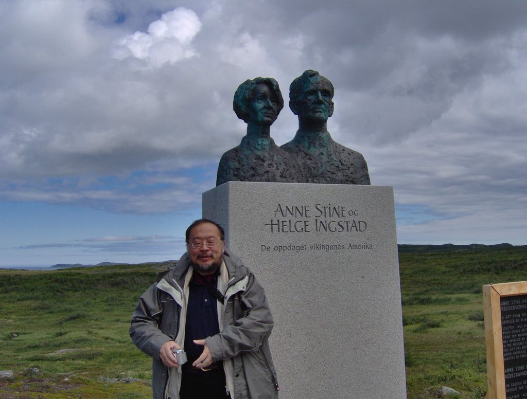

It was here, around the year 1000 -- 500 years before Columbus and John Cabot -- that Vikings made landfall on the North American continent and built a small settlement. This discovery was made in 1960 by the Norwegian explorer Helge Ingstad and his wife, archaeologist Anne Stine Ingstad. The commemorative plaque, a corner of which is seen in the lower right hand corner of the photo, reads as follows (also in French)-

ANNE STINE AND HELGE INGSTAD
REDISCOVERING THE AMERICA OF THE VIKINGS

A GIFT FROM THE PEOPLE OF NORWAY
UNVEILED BY H.M KING HARALD V ON MAY 11, 2002

SCULPTOR: NILS AAS. THE STATUE IS A REPLICA OF THE ORIGINAL,
WHICH STANDS NEXT TO THE ENTRANCE OF THE
VIKING SHIP MUSEUM IN OSLO. THE ORIGINAL STATUE
WAS UNVEILED ON JANUARY 25, 2001 BY KING HARALD V
IN THE PRESENCE OF HELGE INGSTAD.
THIS GIFT HAS BEEN MADE POSSIBLE THROUGH THE SUPPORT OF
NORSK HYDRO AND THE ROYAL NORWEGIAN
MINISTRY OF FOREIGN AFFAIRS.
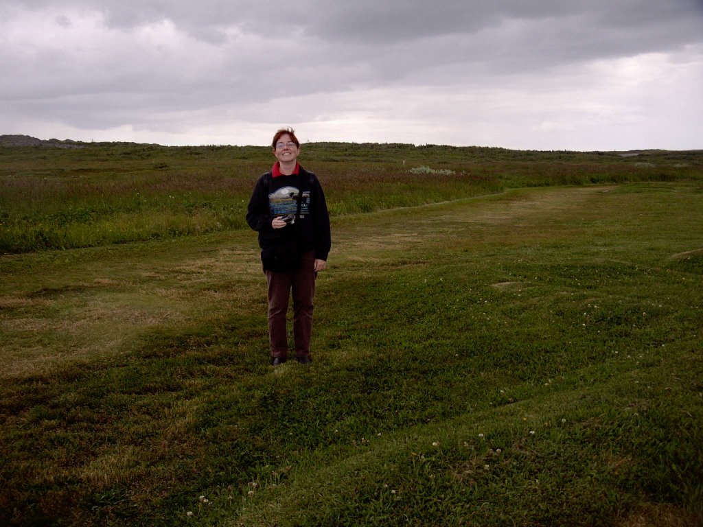

Between 1961 and 1968, an international team of archaeologists led by Anne Stine Ingstad excavated the remains of sod houses, artifacts, a forge, various work areas, and firepits. All of these dated back to a 15 to 20 year stretch around the year 1000 when Vikings, travelling from their existing settlements in Iceland and Greenland, would have periodically inhabited this site.

All that remains now, a thousand years later, are ridges and depressions marking the former location of walls.

The archaeological site is well maintained, complete with metal plaques identifying individual building locations. Off to one side, away from archaeologically interesting spots, there is a recreation of a Viking sod house, with two historical interpreters inside dressed in appropriate costumes. Chris and Cameron tried on Viking helmets, and were allowed to handle spears, shields, bows, and arrows.
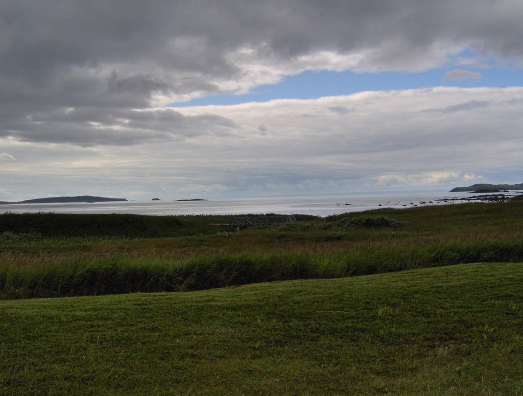

A thousand years ago, the scene above is what the Vikings would have seen as they looked out to sea from the shore of their settlement. For purposes of this photo, just assume that the Viking longboats are drawn up on the beach, off to the left, and not visible in the image.


Like the rest of Newfoundland, this coast was very rocky, leading to the acidic soil conditions that are ideal for blueberries. In fact, in the ground cover off the walkways, there were many blueberries, and in the photo above, you see my son foraging for them, with the Parks Canada visitor centre/museum in the background.
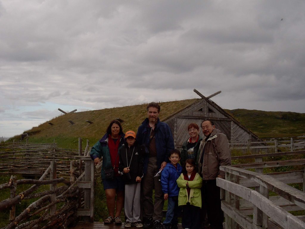

We left the L'Anse Aux Meadows archaeological site and went a couple of kilometres further down the road, to Norstead -- a recreation of a Norse trading port. Norstead is a simulated Norse community -- complete with animals, and interpreters in costumes. There were also replicas of artifacts -- made from wood or bone or wool or even metal, by hand, using original techniques.

The group shot above is courtesy of a passing fellow visitor just outside the sheep pen.

Norstead had another sod house, probably a little less authentic because of the extensive amount of wooden timbers used in its construction. We saw bushes and ground cover, but no mature forest. The unanswered question for me was whether there originally would have been trees for timber, and whether the current lack of trees was due to modern logging? There was also a church (the Viking travelers of the year 1000 would have been recent converts to Christianity, some still secretly worshiping Odin and Thor), a smithy, and a boat shed which held the Snorri -- a replica Viking longboat which made the crossing from Greenland to L'Anse Aux Meadows in 1997/1998.


Norstead also had a rocky beach down from the boat shed -- we found an assortment of shells (mostly mussels), an eviserated crab (above) probably caught and eaten by a seabird.

Norstead closed late in the afternoon, and we were among the last to leave, along with the staff. We had dinner (more cod for me), and then headed back south. Sunset was around 8:00, with progressively deepening twilight over the next hour. On the drive back, Liza and Jill counted more than a dozen moose beside the highway -- none close enough to present a danger, but nerve-wracking nonetheless. Based on experience and observation, our collective belief is that the moose whistles don't work.

Sometime after 1:00 in the morning, we pulled into the driveway of our home away from home in Norris Point. The night was clear and quite cool. On the deck, looking northward, I saw Ursa Major shining in a sky filled with stars normally invisible in the city. A bright meteor made a sudden streak across the sky. Sadly, this was the only clear night that stargazing was possible, and we were all too exhausted to do anything about it.

Saturday August 5 to Monday August 7 - The next three days were devoted to exploring more of Gros Morne, Norris Point, and Rocky Harbour. Saturday afternoon included a trip to the Bonne Bay Marine Research Station in Norris Point, an hour hanging out with the children in a playground, followed by dinner in Rocky Harbour.

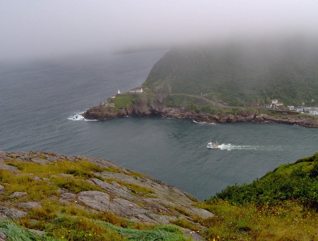
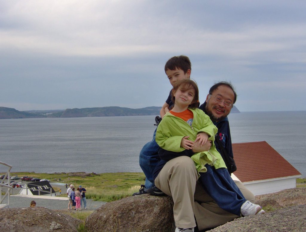
Following the road through Rocky Harbour north along the coast (thanks to Chris' GPS device and set of PalmPilot maps), we reached Lobster Cove Head. From the cliffs here, we could look south and see Rocky Harbour. The cliffs also provided the vantage point for the lighthouse.
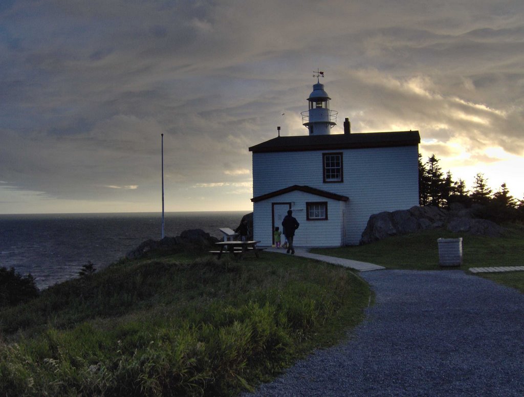


The children climbed the rocks around the lighthouse, while we took advantage of photo opportunities in the scenic surroundings. I have a highly blurred image of something long and sinuous and black (a marten, perhaps?) that raced out of the underbrush and zipped into another clump of brush and trees by the edge of the high fenced off cliff that overlooked the ocean.
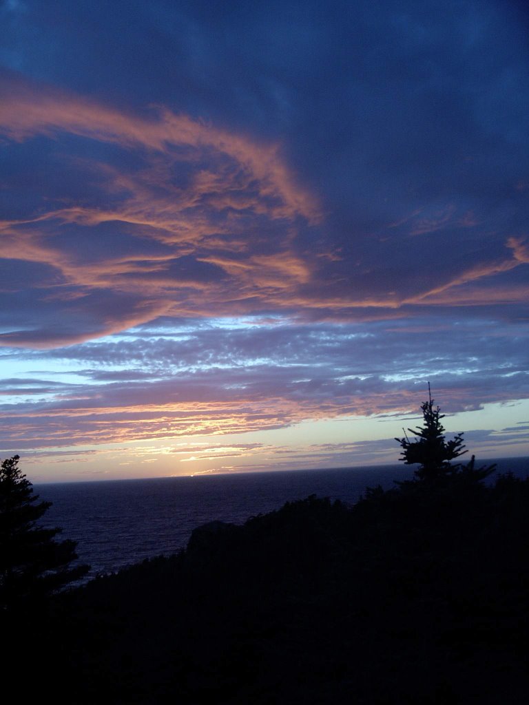

Sunset occurred at 19:57:46 according to the timestamp on my digital camera. A fairly substantial group of people (20? 30?) gathered to watch the sunset - some locals, others tourists like us.


On the following day, our travels took us to the site of the wreck of the S. S. Ethie, one of the ships of the "Alphabet Fleet" of Sir Robert Reid. The ship went down in an ice strom in 1919, with no loss of life. Remains of the engine and boiler are still on the beach, the rust softening sharp edges, and the pieces slowly crumbling into oblivion.
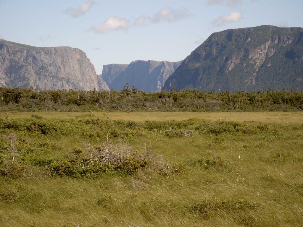

We paused briefly at a scenic lookout point beside the highway where we could see the Western Gap, marking a passage into the Long Range Mountains. These mountains are an extension of the Appalachians which extend all the way through to Tennessee and Alabama in the United States. They are ancient -- dating back almost 700 million years when various continental plates came together to form the supercontinent of Pangaea.


After lunch, we went to Western Brook Pond. We found an immense sandy beach, almost deserted, sandwiched between a stream meandering to the shore of the ocean, and the ocean itself. The sand dune environment here is quite similar to that of the Pinery Provincial Park in Ontario -- not a place that Jill or I have any experience with, but quite familiar to Chris and Liza. Walkways had been constructed through the dunes, and marran grass and trees planted to hold the dunes in place. Even so, the dunes are unstable -- disruption of a strategically located bit of ground cover (by, for instance, a careless foot) might result in the wind over time carving away the dune.

While there, I found some bones in the water -- the freshwater river side, not the ocean side. This is my "CSI" photo, complete with my trusty pen to establish scale. What was it? There are vertebrae, what to my untutored eye could be a pelvic bone. I am thinking this is the remains of someone's barbecue, or perhaps a small animal that was killed and eaten by a fox.
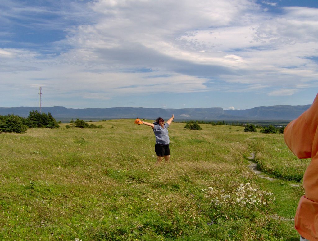

Monday was our last full day in Gros Morne. Our intention was to go back to the sandy beach of Western Brook Pond. We were disappointed by the extreme wind. At Shallow Bay and Cow Head, at the northern end of Gros Morne park, we encountered wind so extreme that it was possible to lean into it and be supported by it. The wind combined with a sandy beach would not have been a pleasant experience.

Instead, we explored Cow Head - walked up to the lighthouse at the top, and back down again. At one point, we found a wide expanse of grass, which combined with the strong wind allowed Liza to have her "Sound of Music" moment.
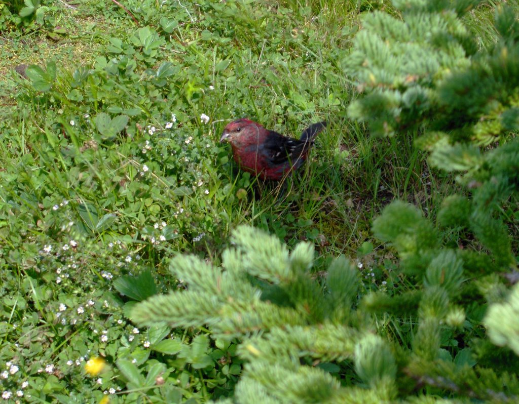

Returning from the top of Cow Head, we encountered a pair of birds -- a mated male/female pair, obviously trying to distract us from something important close by.


As we left, we took a photograph that we knew our friend Lorna would appreciate.
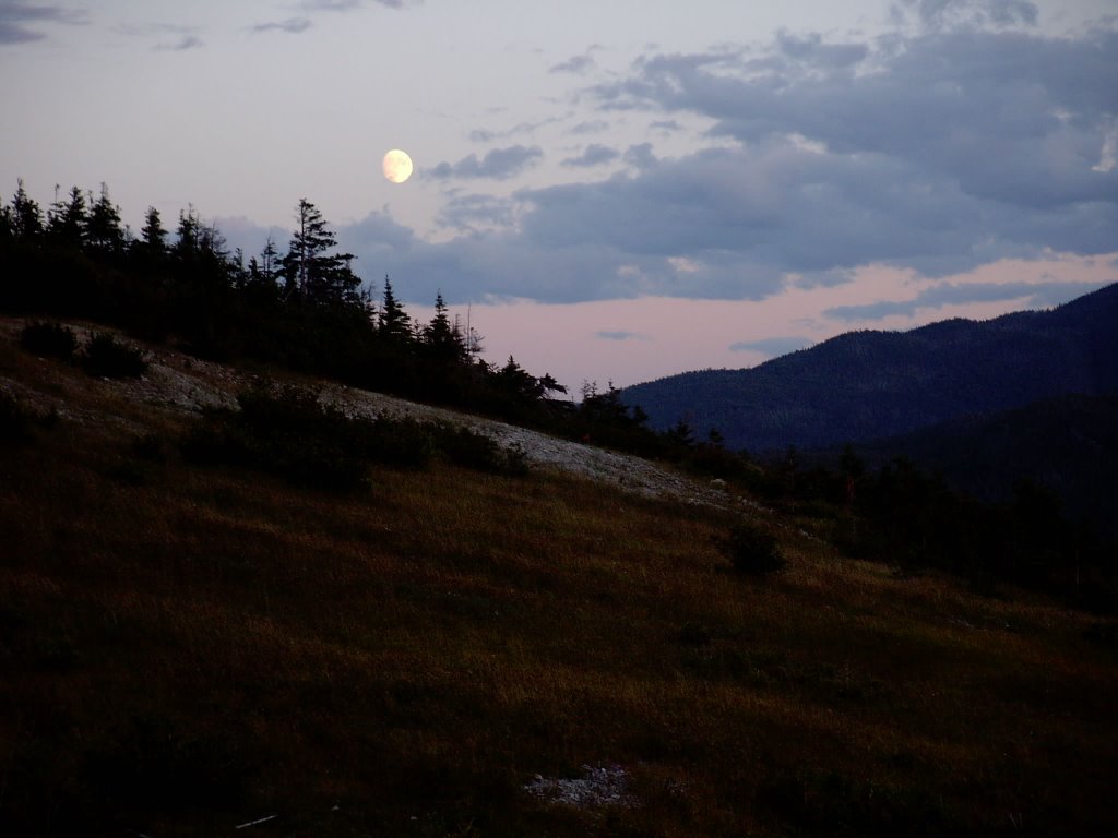

The moon shared the sky for our last sunset in Gros Morne -- it had been a memorable week.

Continued in Part 4.

Sunday, November 19, 2006

Blogging Regularly Is Hard

It has been nearly two months since I did anything on the blog. Today, I finished Part 2 of the Newfoundland Trip Report, more than three months since these events happened. Let me state here for the record that I have nothing but the utmost respect for those people who manage to juggle career, family, and social life -- and who still manage to post more than once a week. And I am in awe of those people who actually manage to write coherently and post on their blog daily or near daily.

Sunday, September 24, 2006

What We Did Last Summer -- Part 2 -- Free in the Harbour

Continued from Part 1.

Saturday, July 29. The George Street Music Festival was on, the hotel was full, and there was a room party going on across the hall. Despite this, we had very little trouble sleeping and only moderate difficulty dragging ourselves out of bed on Saturday morning. In the room next door, Chris, Liza, Cameron and Robin had a similar experience -- the drug of exhaustion helped to put all of us to sleep and keep us there.

In the morning, we had a leisurely breakfast after we hooked up with Bernard, Jean, and Erin. It was an opportunity to socialize and renew acquaintances. In 1997, during the months that the NewTel project had lasted, I had had dinner with Bernard and Jean and their children several times. That was where I developed a fondness for the Newfoundland "Jigg's Dinner".


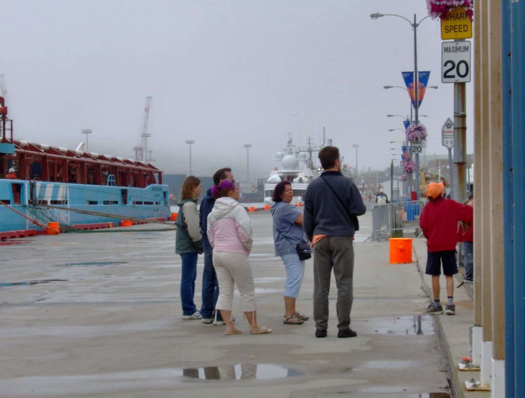
After breakfast, we walked along the waterfront. The harbour was obscured by mist and fog, and fog was rolling down the heights on the other side of the harbour. The Narrows -- the entrance to the harbour, or from our perspective, the exit from the harbour to the Atlantic Ocean beyond -- was completely invisible in the fog.


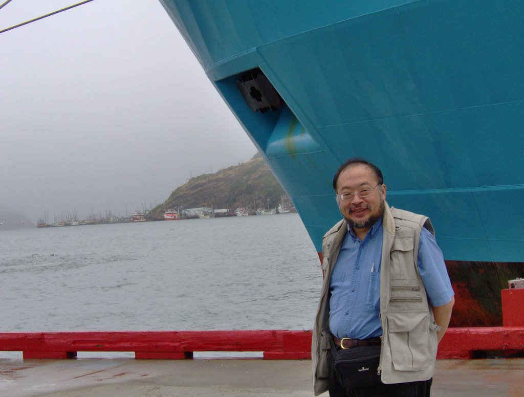
Along the waterfront, we saw a private yacht -- the Charade, which I later learned had been formerly owned by Paul Allen of Microsoft, and had been the vessel on which Bill and Melinda Gates had spent their honeymoon in Hawaii. We also saw what appeared to be a Portuguese Ministry of Fisheries vessel, and several local fishing trawlers.

Bernard, Jean and Erin left after our walk, after guiding us to the parking lot of the Johnson Geological Centre, on Signal Hill, midway to the top. The day remained gray and threatening. The Johnson Centre is a science museum, focusing primarily on the geology and geomorphology of Newfoundland. It is a modern, world-class place -- everything that the Ontario Science Centre will become again when its modernization is complete.


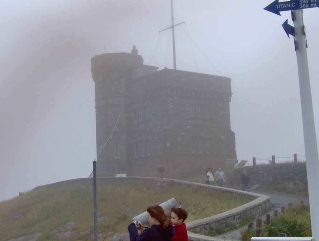
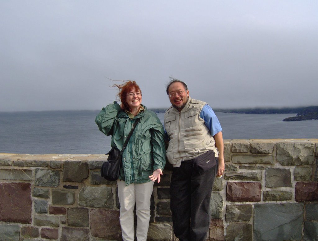
The gray and threatening day had devolved into a rainstorm which had slackened to an occasional drizzle. We went from the Johnson Centre to the top of Signal Hill with high winds plucking at us. The top of Signal Hill is one of my favorite places in St. John's. To our vast collective disappointment, the Cabot Tower -- and the museum inside -- were closed that day due to those high winds.


Signal Hill has a commanding view of the harbour, the Narrows, and Fort Amherst on the other side, guarding the harbour's entrance. Lost in the mist beyond Fort Amherst, we could also see a hint of the spit of land that was Cape Spear. In the time that we were on Signal Hill, a couple of the fishing trawlers that we had seen earlier put out to sea, sailing through the Narrows headed out into the Atlantic, retracing the course of countless ships through the ages leaving St. John's.


We spent a couple of hours on Signal Hill before we returned to the hotel.

That evening, Erin came by with pizza to handle child care. With the children secure and with Erin's pizza and a couple of movies to guarantee at least limited tractability on their part, Jill, Chris, Liza, and I went out for steaks.

We ate at Peter Belbin's Steak House and Salad Bar on Duckworth Street -- a meal that was both memorable and satisfying. And let me note that when I worked in Newfoundland years ago, we definitely didn't eat like this. I had a lobster with my steak. It was served with the top half standing up and with the claws outspread, a presentation which caused us much laughter. I developed a taste for lobster late in life, but based on my (admittedly limited) sampling, I would have to say that lobster from Newfoundland tastes better than any lobster than I've had anywhere else -- undoubtedly due to the cold deep waters where the lobsters grow.

Sunday, July 31. I spoke with Kevin at his cottage. Modern technology - in this case, cell phones - are wonderful! We packed up the children, got groceries, and headed off to Kevin's cottage. On the way, we had a minor navigation glitch -- we missed an on-ramp that kept us on the Trans-Canada Highway, and found ourselves in Conception Bay South, where we had to retrace our route.

Back on the main highway, the weather changed suddenly and we went from a cloudy day to torrential downfall conditions. There was so much rain that water pooled on the road, and several times the van hydroplaned or gave indications that it was on the verge of hydroplaning. Chris, who was driving, kept us on the road and safe.

We followed Kevin's instructions to his cottage, where I introduced Kevin to Chris and Liza and the children. Kevin and Jill needed no introductions -- they had met in '97 when Jill came out to Newfoundland to visit me while I worked there. Kevin introduced us to his wife Jen and to the children -- Maryanna, Liam and baby Gavin, and to the host of other guests who dropped by through the course of the afternoon to visit.


Within an hour of our arrival, the sky cleared, and the children did some swimming off the end of the dock. Maryanna, in particular, demonstrated her affinity for moving effortlessly through the water.


At dinner that night, Robin (aged four and a half) said to Jen, "Do-Ming thinks he's smarter than I am." Pausing, she continued, "I just let him think that!"

When we left that night, Jen solemnly promised Robin that she would keep her secret.

On the way back to the hotel, we had a minor adventure -- somewhere along the way, there had been a tire puncture -- the passenger side front tire was flat. By this point, it was late, and the children were asleep in the back of the van. With the user manual for the van, Chris' LED flashlight, and a friendly motorist who stopped to help, we were able to extract the jack, lift up the van, find and remove the spare, and finally change the tire. For future reference, note that the spare for the Dodge Caravan is stored in a well underneath the rear deck of the van, and you have to unscrew an oddly arranged retaining bolt in order to release it onto the ground.

For the most part, the children remained asleep, and we made it back to the hotel with no further incident.

Monday, July 31. Jill's birthday was sunny, bright, and warm -- the very antithesis of Saturday or Sunday.

I took the van to a Canadian Tire store (which we had seen coming in from the airport) and had them replace the tire. After the tire repair was complete, I went back to the hotel, picked everyone up, and proceeded on to the first of the day's activities -- the Visitor Centre on Signal Hill.


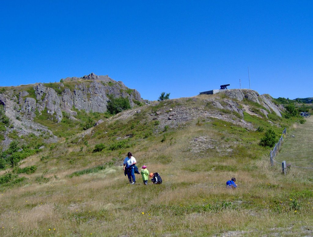
From the Visitor Centre, it was a short walk to Gibbet Hill. The children found blueberries and partridge berries growing on the ground and the slopes. They all raced up, mountain goat-like, but I struggled -- the climb was another demonstration of how overweight and out of shape I have become. Despite my exertions, the sunshine was enjoyable :-) And I didn't die of a heart attack.


By early afternoon, we went down to the waterfront, where we bought tickets for a three hour boat tour. For the record, the boat was called Iceberg Quest 2, not the S.S. Minnow :-)

Our trip on the tour boat took us out through the harbour, past the Narrows, and out toward Cape Spear.


Once out on the ocean, I looked back toward land and saw the Cabot Tower on top of Signal Hill.


The day remained warm and sunny and clear, with only a hint of clouds in the sky. The boat operators insisted that all the children be in life jackets -- a requirement which added to the sense of adventure.


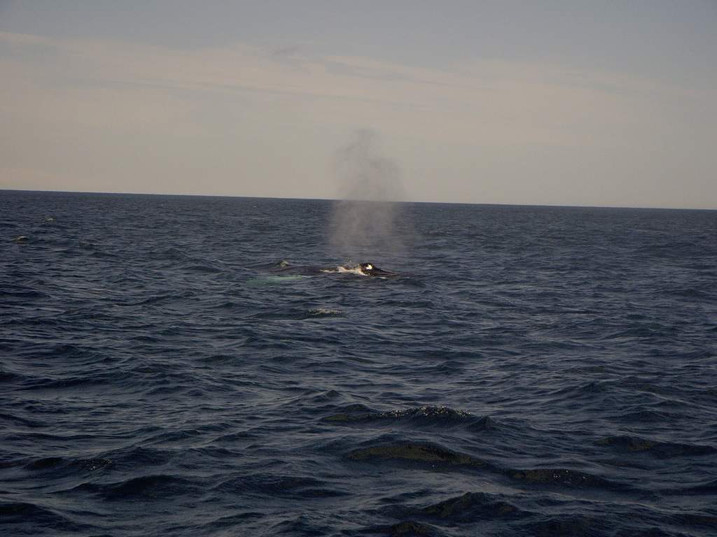
But the main purpose of the tout was whale watching, and we were not disappointed. In celebration of Jill's birthday, a female humpback whale and her calf swam beside the boat for much of the outbound leg of the tour, at one point coming within a couple of boat widths. When they spouted, my glasses got covered with a fine, warm mist -- I had to scrub off my glasses before I could see again. The boys giggled and made remarks about whale snot.


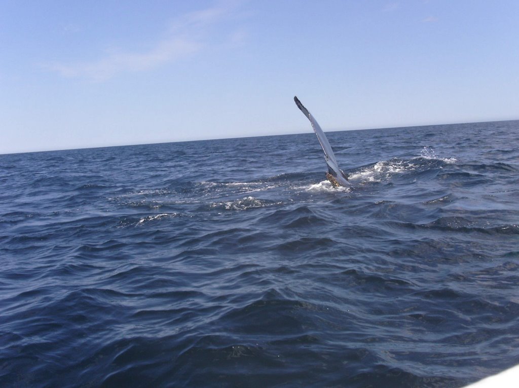
For his birthday in May, Corwin had been given a digital camera -- he used it to take the shot above of a humpback fluke breaking the water as the whale rolled and dived.

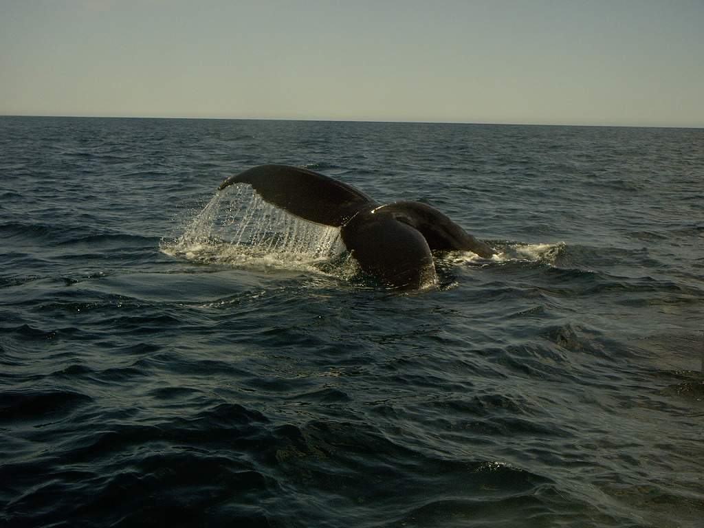
Humpback whales can be identified as individuals by the variations in the pattern on the edge of their tail fluke. This next shot, zoomed up, would provide appropriate data to allow identification of this individual.


All good things end. The boat reached the headland of Cape Spear, and followed along the coast, allowing the tour guide to point out the caves in the cliffs before turning back. There are two lighthouses at Cape Spear, dating back to the 1800s. Later in the afternoon, we would be getting close-up looks at them.


We encountered the same pair of whales on the return leg. Our last sight of mother and calf were their two tails in the air as they sounded, a cetacean wave "goodbye".


After we returned from the boat tour, we collected our faithful van from the parking garage. Total cost for parking, in the downtown business district of St. John's on a weekday -- less than ten dollars. This was a sum that caused those of us familiar with equivalent prices in downtown Toronto to smile widely.

For the rest of the afternoon, we went on a road trip to Cape Spear, which we had seen earlier from the boat. Cape Spear is the most eastern point of the North American continent. We managed to get there after correcting from a wrong turn which got us a chance to see a bit more of the countryside around St. John's.


The two pictures above are probably my favourite shots from the entire trip. After parking at Cape Spear, we made our way upward, toward the two lighthouses. I stopped to rest, and Corwin and Robin spent a few minutes with me, hanging out. Jill was there to catch the moment on camera.


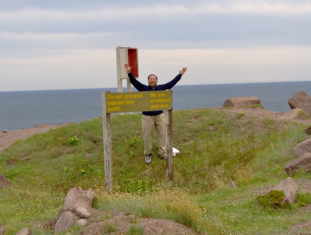
So I posted the photo above to demonstrate my quintessential lack of respect for authority :-) However, the sign itself is puzzling. Unlike many other locations at Cape Spear where the path would give way to sudden sheer drops down to lethal looking rocks, this place was a nice and gradual descent to a sheer cliff -- not nearly as apparently dangerous as some other spots.

The photo below documents an interesting architectural detail of the smaller lighthouse. This building design apparently requires windows to be placed in particular locations on the building facade. However, glass windows are weak points on walls of structures built on top of the cliffs at Cape Spear, where they are subjected to extremes of wind and storm-driven rain. The builders recognized that windows were not a good idea, so they compromised -- the lower right hand window, as well as the upper left and upper right are fakes -- artfully constructed of framing wood and paint. This elegant solution allowed the requirements of form to be met without the demands of function taking a hit.


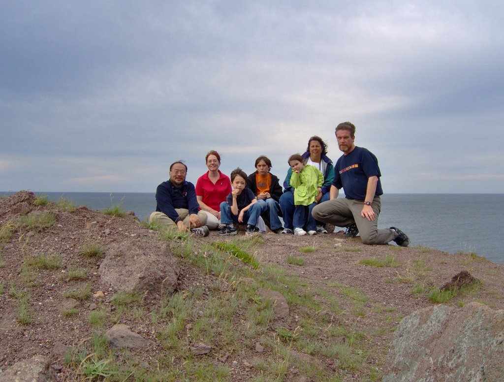
The final Cape Spear photo is a group shot of all of us. Behind us, only a couple of metres away, is one of those sheer drops I have discussed earlier -- complete with not only lethal rocks, but dangerous looking waves to generate enough undertow to drag away the lifeless body of anyone who fell. However, at the moment the shot was taken, we are all as far East as we have ever been while still in North America, and the entire population of the continent are west of us.

The ending to Jill's birthday was marked by dinner at a chain restaurant (in deference to the finicky tastes of children), followed by an early bedtime. Next day would be a long travel day.

Continued in Part 3.

What We Did Last Summer -- Part 1 -- Arriving to St. John's

The Autumnal Equinox has passed and fall is here. So what better time to talk about everything we did this last summer?

The major highlight of the summer of 2006 was our trip to Newfoundland -- a trip that began with a casual conversation with our friend Liza a couple of years ago, identifying 2006 as the year in which all our respective children would be old enough to be able to handle the travel requirements and to appreciate the trip. From this first conversation grew a consensus, then an intent, and finally a plan.

My own history with the city of St. John's, Newfoundland goes back to 1997. Off and on, between April and December that year, I spent many weeks there as an employee of a consulting firm working for Newfoundland Telephone on an experimental component of their Peoplesoft project.

While there, I had worked with Kevin and Bernard, two IT staff members of NewTel. Subsequently, I had stayed in touch with Kevin when he and his partners left NewTel and formed their own company. And every twelve or eighteen months, I would see Bernard -- usually when NewTel sent him to Toronto, although he and his wife, Jean, spent a week of vacation here a year ago.

In the lead-up and planning, Kevin and Bernard offered many suggestions for activities, proving once again that the success of any operation depends in no small part on intelligence gathered on site by operatives familiar with the local cultural, economic, and political environment. Kevin invited us to his cottage, and Bernard offered us his front yard as a parking space when we had considered doing the trip in an RV. When we came to our senses and sanity returned (i.e. we looked at the daily cost of an RV rental), our plan scaled down, and as a preliminary move, we shipped a box to Bernard containing some bulky travel necessities.

Friday, July 28 The phone rang at an ungodly hour in the middle of the night. We had already been awake and dressed for ten minutes. It was Liza, confirming that their family was similarly up and getting ready. I drove down, picked up Chris, Liza, and their children, Cameron and Robin, and all their luggage and as previously arranged, hauled them up to our house. While I was gone, Jill -- in a last minute burst of superhuman effort -- reorganized our luggage.

With the entire group together, fed with Chinese barbecue pork buns, and luggage on the front steps, we were ready. Shortly, in a not-quite-large-enough van sent by the cab company, we were on our way to the airport and our charter flight to St. John's. Consolidating the cab ride saved some money -- and saving money is always a good thing. We had gotten a good deal on the airfare as well -- it was sufficiently low that airport fees and taxes actually cost more than the flight. The downside was that we were packed into the aircraft at a density level that showed that the charter company (Skyservice) was committed to the idea of using every available centimetere of room for revenue generating seats. In this model of aircraft interior design, the idea of "leg room" was ruthlessly suppressed. Liza, Jill, and myself merely felt hemmed in -- but Chris, with his nearly two metres of height, felt a more acute level of discomfort.

But we survived the flight -- three hours to St. John's, with a one-and-a-half hour time zone shift ahead from Eastern to Newfoundland Time.

The airport in St. John's was larger and brighter than I remembered from when I was there nine years previously. Insteading of walking down stairs from the aircraft onto the tarmac, and then walking across the tarmac into the terminal building, we debarked onto a jet bridge and from there directly into the upper Arrivals level of a renovated, modern, and expanded international air terminal.

The first glitch in the trip was the rental agency wanting to charge extra for Chris and Liza as the extra drivers. Convincing the clerk to check with her manager regarding the policy on CAA memberships solved that problem (and saved a couple of hundred dollars). The next glitch was less minor -- the 2006 Dodge Caravan that we were assigned was the standard version -- not the roomier, deluxe Grand Caravan version that we had tried out weeks earlier at the beginning of June.

Nonetheless, we managed to cram the luggage -- all the luggage -- into the back, got Corwin and Robin's car seats set up, and got everybody aboard. With the help of directions from the tourist information counter in the airport and Chris' GPS device, we drove into St. John's, with a stop at a Tim Horton's for lunch. The directions were perfect, and with the stop for lunch, we got to the hotel on Le Marchant Road just after the three o'clock check-in time.


Once in the hotel, adults rested, children played, and I came to the realization that crucial contact information for Kevin had been left in a file folder in my briefcase at home. I had printed out an email from Kevin containing his contact information, but I had forgotten to forward the email from my work account to GMail. Although I had my laptop with me, and could connect to my work account, I had archived all of my email in anticipation of being away from work for an extended period of time. The email was there -- but it was physically on the computer on my desk at work, not on the network -- and therefore inaccessible. I had no way of contacting Kevin, and his office voice-mail message indicated what I already knew -- he was gone for at least two weeks, at his cottage somewhere outside the city, where the only way to contact him was through a cell phone number which I didn't have.

While I fretted over how to get in touch with Kevin, I was able to check off an easier task -- that being to get in touch with Bernard. Bernard was still with the telephone company -- now called Aliant -- had also just started his vacation, and was dealing with some errands, but he offered to stop by the hotel that evening. Although I was beginning to have my doubts about how much longer any of us could stay awake, all the pieces of the puzzle were coming into place.

After examining my alternatives with Kevin, I decided that simplicity was best -- I made a phone call back to the office in Toronto where I asked a colleague to turn on my computer, log in, open my archive, and forward the email I needed to my GMail account. Seconds later, and thousands of miles away, I had the information I needed, and was able to leave Kevin a message. I love modern technology....


That afternoon, the two boys -- Corwin and Cameron (age 9) -- walked with me from the hotel on Le Marchant Road down to Water Street -- the St. John's waterfront. We passed some old stomping grounds -- the Delta Hotel, and the Magic Wok Chinese Restaurant.

Although I wanted to continue farther, I faced a mutiny in the ranks -- the boys assured me that twenty minutes of walking had reduced their legs to stumps and they could not possibly climb the hill back to the hotel. There was a light, intermittent drizzle and the air was cool -- a definite difference from the heat wave we had left behind in Toronto.

Making our way back to the hotel with the help of a taxi cab, we waited for Bernard, his wife Jean, and daughter Erin to arrive, which duly came to pass by early evening. Bernard brought along the the box which Chris had sent a couple of weeks earlier. In the lead up to this trip, Chris, Liza, Jill and I had identified some "nice to have items" -- Chris and Liza's camp cooler, books, pocket radios, miscellaneous hardware -- and we had shipped all of this to Bernard so as not to take up luggage space for the plane.

After a brief visit, our evening was rounded out by dinner at the Magic Wok -- a Chinese restaurant at least as good or better as some fine restaurants in Toronto. The culinary highlight of the evening was duck and ginger soup -- light, fragrant, and tasty.

Our Newfoundland vacation was under way!


Continued in Part 2.

Thursday, August 31, 2006

Space News

NASA has selected Lockheed Martin to be the prime contractor to build the Orion spacecraft, the next generation vehicle that is supposed to replace the shuttle and return human beings to the Moon. The NASA website coverage is much the same as the initial press release, but more details will undoubtedly come out. Lockheed Martin beat a combined Northrop/Boeing consortium to get the Orion contract. The contract is initially worth $3.9 billion USD, with possible additional options for another $3.7 billion USD.

Interesting to note that all of Lockheed Martin's space expertise has been related to unmanned, robotic missions. It's the other guys who have the experience building manned space vehicles -- Mercury, Gemini, Apollo, and the LEM were all built by companies purchased by Northrop or Boeing.

Since the last Apollo astronauts left the Moon in 1972, not much lunar exploration has occurred, and all of it by unmanned orbiters or landers. Between 1973 to 1976, the Soviet Union sent several of their Luna probes, one of which was a successful sample return mission.

Due to a certain amount of "been there, done that" thinking, there was a hiatus of 14 years where no active lunar research happened. It was not until the 1990s that spacecraft returned to the Moon, starting with the Japanese Hiten in 1990. The Americans sent Clementine (1994) and Lunar Prospector (1998-1999) -- both mapping missions, with Lunar Prospector having an additional objective to search for water ice at the lunar poles.

Dr. Alan Binder was the Principal Investigator for the Lunar Prospector mission. I met him at the Apogee Books table at the Worldcon last week in Anaheim. Dr. Binder is highly critical of NASA and its contractors -- he has written a near future science fiction disaster novel -- Moon Quake -- to illustrate what he feels are NASA's shortcomings.

The Europeans sent SMART-1 to the Moon in 2003. The SMART-1 probe was a platform to test new technology developed by the European Space Agency. Chief among these was an ion engine, which SMART-1 used to place itself on a spiral trajectory to the Moon over the course of a year. Since 2004, SMART-1 has been in a polar orbit over the Moon, conductiong a photographic reconnaissance. Over the last two years, its fuel reserves have diminshed, and shortly the spacecraft will be unable to manuever. Therefore, ESA intends to crash SMART-1 into Lacus Excellentiae this weekend, on Sunday September 3, around 0200 EDT. It is hoped that the crash can be monitored from earth with telescopes, which will allow some information to be obtained on lunar surface composition. Depending on conditions, the light intensity of the crash may range from magnitude 7 (visible with binoculars/small telescopes) to magnitude 15 (forget trying to see this with anything except a really big telescope at a major observatory).

The next item of space news is the upcoming launch, by mid-September, of the first woman space tourist -- Anousheh Ansari, an Iranian-born U.S. entrepreneur who is traveling to the International Space Station. She will go up in a Soyuz TMA-9 spacecraft from Baikonur, with ISS Expedition 14 -- cosmonaut Mikhail Tyurin and U.S. astronaut Miguel Lopez-Alegria. Ten days later, she returns with Expedition 13 -- Pavel Vinogradov and Jeff Williams, who have been on the ISS since April 1.

Ansari and her husband, Amir, co-founded the Texas-based Telecom Technologies, Inc. They were major donors to the X-Prize, which is why it was called the Ansari X-Prize. Anousheh Ansari is following in the footsteps of space tourists Dennis Tito, Mark Shuttleworth and Greg Olsen, other millionaires who also traveled to the International Space Station aboard Russian spacecraft. Ansari's contract prevents her from discussing her trip's cost, but in an interview, she noted previous space tourists have paid some $20 million USD for each of their flights.

For two million bucks a day, Ms. Ansari and all those who come after her need better accommodations -- like the space hotel complex that Bigelow Aerospace want to eventually put up into space, and whose precursor is currently undergoing testing.

For those of us who are less well heeled, our only hope is for the price to drop. The first seeds of that hope may very well be with the proposal by Planetspace, to build a spaceport in Cape Breton (the same latitude as Kazahkstan). Their objective is to get a piece of the space tourism business, as well as resupply contracts for the ISS. If it works, there is the Canadian gateway to outer space...

Sunday, August 27, 2006

Worldcon 2006

We are at LACon IV, the 64th World Science Fiction Convention, here at the Anaheim Convention Center in the suburbs of Los Angeles. This has been a pretty low key event for us. I haven't been to many program events, but it has been a great opportunity to see friends.

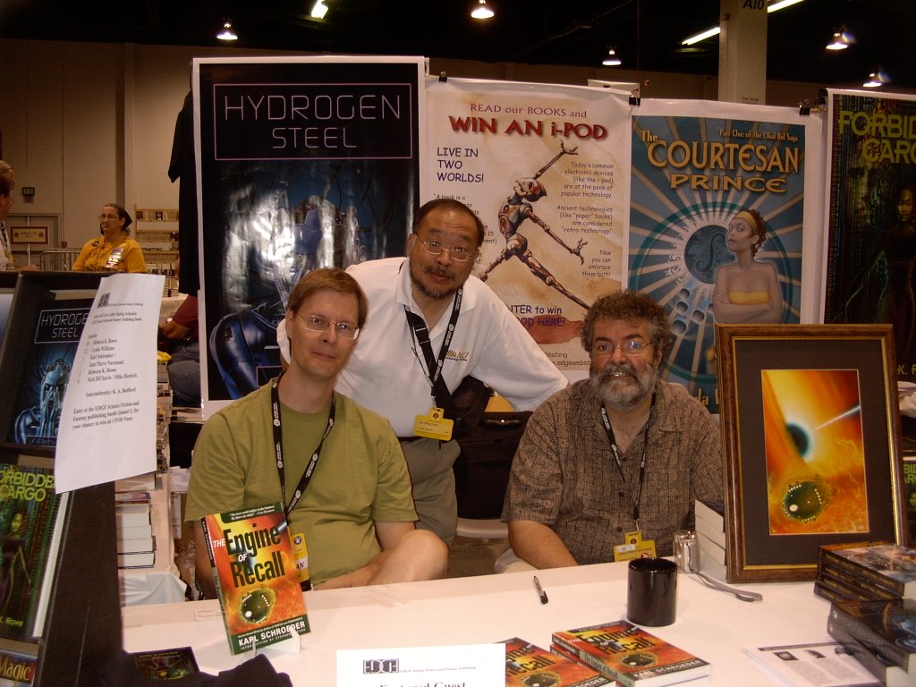
The highlight so far is captured in this photograph which shows (left to right) Karl Schroeder, me, and Jean-Pierre Normand, taken at the Edge Publishers table in the Dealer's Room. Karl is seated behind a copy of his short story collection The Engine of Recall, for which Jean-Pierre did the cover art.


UPDATE: The 2006 Hugo Awards were given out on Saturday night. This is a partial list:

Best Novel - Robert Charles Wilson for Spin from Tor Books -- a well deserved victory, and doubly sweet since Bob Wilson is from Toronto (although he now lives on the West Coast)

Best Novella - Connie Willis for Inside Job, published in Asimov's January 2005

Best Novellette - Peter S. Beagle for Two Hearts, published in F&SF October/November 2005

Best Short Story - David D. Levine for Tk'tk'tk, published in Asimov's Asimov's 2005

Best Dramatic Presentation, Long Form - Serenity (Universal Pictures/Mutant Ennemy, Inc.) Written and Directed by Joss Whedon

John Scalzi won the Campbell Award for Best New Writer, in his first year of eligibility. Again, well deserved. Note - if Scalzi is an A-list blogger, then I most likely don't even make the scale!

Someone else will undoubtedly put the full list up soon, but these are the highlights.

Friday, August 25, 2006

Pluto - A Planet No Longer

At the IAU conference in Prague, Czechoslovakia this week, astronomers voted to reclassify Pluto into a new category of solar system object -- a dwarf planet. This class of objects would include Pluto, Sedna, Quaoar, and the recently discovered 2003 UB313 (Xena).

While I understand why it happened, I am sorry that astronomers reached this particular decision. The reaction that I most like is the bumper sticker from Cafe Press that says "Honk If Pluto Is Still A Planet".

Pluto was discovered by Clyde Tombaugh in 1930, and for the last 75 years, has been part of the cultural consciousness of what defines the Solar System. It will be a while before popular culture catches up to the new definition.

Something similar happened in the nineteenth century. Ceres was discovered on January 1, 1801, and was declared to be a new planet. But it was soon realized that Ceres was the first of many similar objects. By the 1850s, astronomers had defined and named that new class of solar system objects -- asteroids -- and relegated Ceres, Pallas, Vesta, and all the other small objects discovered between the orbits of Mars and Jupiter to be members of this new group.

In the current view, Pluto was the first trans-Neptunian dwarf planet discovered. As technology -- both optical and sensor -- improved after the launch of the Hubble Space Telescope, more of these trans-Neptunian Kuiper Belt objects were found, and the current view is that there may well be thousands. Hence, the need to redefine and recategorize.

Regardless of the arguments and quibbling of astronomers, the New Horizons space probe continues on its way to Pluto. Launched on 19 January 2006 from Cape Canaveral, New Horizons crossed the Moon's orbit before midnight that day, aimed for a Jupiter flyby in February 2007 and ultimately, a flyby of the Pluto/Charon dwarf planet system in July of 2015. When that is completed, the initial reconnaissance of the major bodies in the Solar System, as known in the twentieth century, will be completed.